Disclaimer: Although I am dedicated to providing quality weather information on this web site, I cannot guarantee its
accuracy or timeliness. My weather predictions are based on my own interpretations of the meteorological data to which I have
access, and should not be confused with official forecasts provided by the Meteorological Service of Canada. The user hereby
assumes all risks associated with the use of information on stormpost.com.
Copyright (c) 2025
Rodney Barney
|
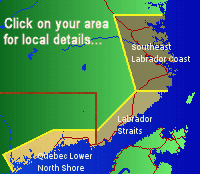
To learn more about southeastern Labrador, check out:
- www.labradorcoastaldrive.com
- www.southernlabrador.ca
|
|
|
LATEST WEATHER REPORTS
|
|
Location
|
Temp
|
|
Conditions
|
|
Goose Bay
|
15°C
|
|
Mostly Cloudy
|
|
Cartwright
|
8°C
|
|
Cloudy
|
|
Mary's Harbour
|
8°C
|
|
Mainly Sunny
|
|
St. Anthony
|
8°C
|
|
Mainly Sunny
|
|
Blanc-Sablon
|
12°C
|
|
Partly Cloudy
|
|
Sept-Îles
|
15°C
|
|
Partly Cloudy
|
|
St. John's
|
12°C
|
|
Mostly Cloudy
|
|
NO UPDATES MAY 29-JUNE 15
|
I will not be available to update stormpost.com forecasts from Thursday, May 29, through Sunday June 15, 2025.
Please refer to the forecast page for your area from Environment and Climate Change Canada for your latest weather details.
Norman Bay to Lodge Bay: Mary's Harbour
Red Bay to L'Anse-au-Clair: L'Anse-au-Loup
Quebec Lower North Shore: Blanc-Sablon
I hope to resume updates on Monday, June 26.
— Rodney —
|
|
| |
STRAIT OF BELLE ISLE FERRY STATUS
| |
|
Vessel
|
MV Qajaq W
|
|
Status
|
In Service On Schedule
|
|
Details
|
Fall-Spring Schedule
|
|
Last Updated
|
6/14/25, 5:09 PM
|
|
Source: NL 511; updates depend on data availability. Verify with official sources or operator for accuracy.
About stormpost.com
Stormpost.com is my personal web site which I maintain on my own time to provide weather information to residents of the
Southeast Labrador Coast, Labrador Straits, and Quebec Lower North Shore. I grew up in the town of L'Anse au Loup, and
now live in Gander, NL where I work as a meteorologist for Environment Canada. For more details, click here.
|
|
FORTEAU BAY
Currently not updating
L'ANSE AU LOUP
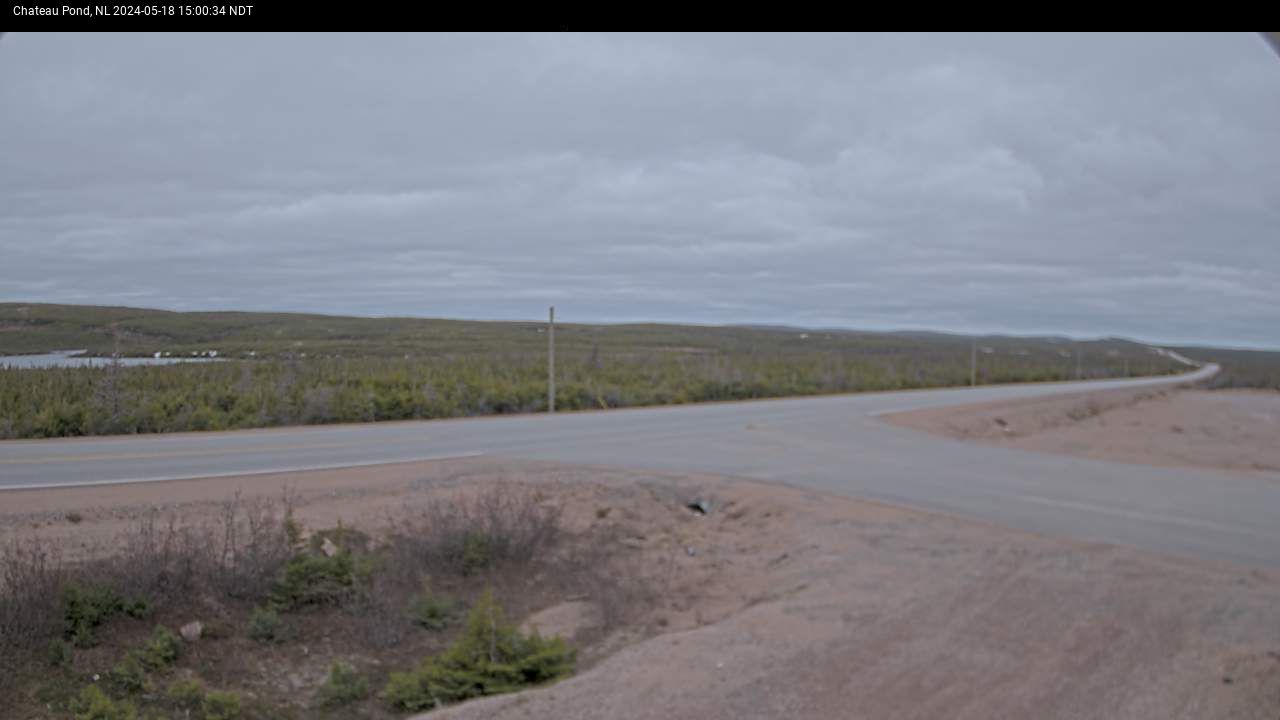
CHATEAU POND
MARY'S HARBOUR
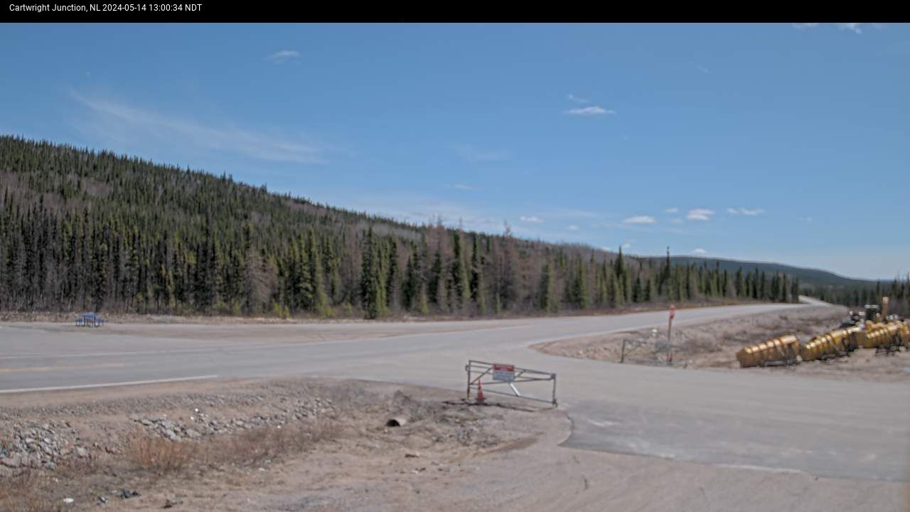
CARTWRIGHT JCT
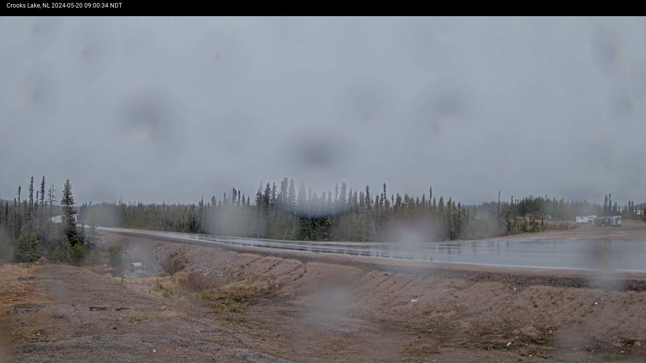
CROOK'S LAKE
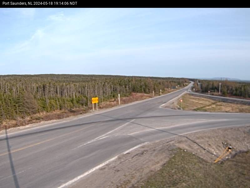
PORT SAUNDERS
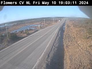
FLOWER'S COVE
ST. ANTHONY
-
|

|
